-
 Precambrian
-
 Betavoltaic
-
 Leucocratic
-
 Topoisomerase
-
 Vitamin B2
-
 Genetic Engineering
-
 MVNO
MVNO
-
 Bridge
-
 Tertials
-
 Cranberry
-
 Podosome
-
 Hartley 2 comet
-
 Foreshore
-
 Histidine
-
 Final energy
-
 Liver fluke
-
 Fundamental state
-
 Cirripedia
-
 Handover
-
 Elasticity
-
 Dose
Dose
-
 Ross, Frank
-
 Erythematous
-
 Fluid inclusion
-
 Gaviiformes
-
 Abscess
-
 Nasal polyp
-
 Whopping cough
-
 Gonad
Gonad
-
 Passphrase
Geodesics
Geodesics is the science of studying the shape and size of the earth. The mathematics of the operations needed to draw the map of a country, to measure a meridian arc, for gravimetric and spatial operations etc.
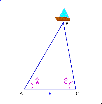
Geodesic operations are based on triangulation, which consists of determining the distance between two given points on the Earth's surface by referring these two points to a previously measured baseline using a series of triangles of which the angles are measured and which are then solved step by step.
 Geodesics
Latest
Fill out my online form.


